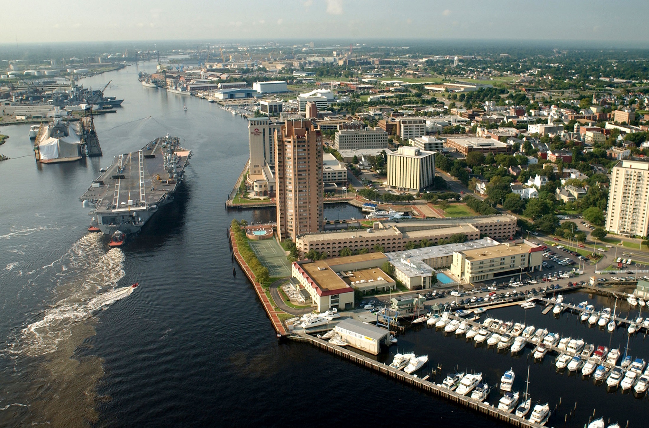
Industrial Development, Waterway Access Along Elizabeth River
CHESAPEAKE — City leaders next spring expect to adopt a strategic plan that will boost industry, protect…
CHESAPEAKE — City leaders next spring expect to adopt a strategic plan that will boost industry, protect shorelines and further connect Chesapeake’s various corridors along the southern branch of the Elizabeth River.
For more than a year, city staff have been working with New Orleans-based design firm Waggonner and Ball and conducting stakeholder meetings to study the city’s watershed and adjacent neighborhoods along Chesapeake’s portion of the Elizabeth River to determine its economic development potential and climate challenges. The watershed of the southern branch of the Elizabeth River is “a heavy industrial corridor with good access to the Chesapeake Bay and the Port of Virginia,” according to the city.
Planning Director Jimmy McNamara and Jaime Ramiro Diaz of the design firm presented draft findings to City Council earlier this month. McNamara said staff are reviewing the draft plans, which will be posted online with an interactive tool for public input. The Planning Commission is expected to review the plan in February, with City Council adoption anticipated in March.
Diaz said unlike surrounding cities like Portsmouth that have central ports, Chesapeake’s waterfront has “a lot of individual users” with underutilized parcels that can be developed for industrial use. And instead of a downtown center, the city has a collection of interconnected “hubs” that spread across the city.
The goal of the plan is to guide future projects to leverage the city’s waterfront as a regional asset. Planners suggested that could be done by better connecting communities to the waterfront via creeks, making infrastructure improvements to mitigate flooding and sea level rise, developing more mixed-use waterfront hubs that connect to major roadways, and conserving the existing shoreline.
The plan looks to build on existing core “hubs” like South Norfolk and Great Bridge while also creating new waterfront hubs. Diaz said the around Veterans Bridge in Deep Creek, for example, could be a new hub. He also said in South Norfolk, leveraging Elizabeth River Park and further integrating it into the community is part of the plan.
Diaz said the plan would also build off work already being done by the Hampton Roads Planning District Commission regarding green infrastructure by looking to create conservation areas that could act as buffers from storms and store storm water as well as protect residential neighborhoods from industrial facilities.
“Instead of just planting one or two trees because you’re required to by code, maybe it’d be better to create more of a larger buffer between the neighborhoods,” Diaz said, noting that Paradise Creek Park in Portsmouth is a good example.
Infrastructure improvements are part of the plan, such as raising parts of Bainbridge Boulevard, which sees a lot of flooding, and adding in more buffers that control tidal impacts.
“There are segments of (Bainbridge) that if you raise them and created some tidal control, you could protect the neighborhoods behind as well as providing better access to the industrial properties at the waterfront,” Diaz said. “These challenges will get more difficult in the future, so thinking ahead, how to do this incrementally (is important).”
As far as industrial goals, the study includes the redevelopment of the former Dominion Energy power plant site as an example.
In Money Point, a contaminated industrial area branching off South Norfolk, the remediation of superfund and brownfield sites is a priority. Diaz said efforts to clean up the shoreline there are already underway, but drainage and access continue to be issues. Other plans include improvements to Freeman Avenue, the main road that stretches into Money Point, such as creating a new railroad overpass.
“This is where you can really see this connected ecology,” Diaz said.
Diaz said many large properties are available in Rivercrest, where both Top Rack Marina and Newton Neck Park have been successful. And there’s a lot of potential along Battlefield Boulevard in Great Bridge, he added.
Diaz said the U.S. Navy has expressed interest in working with the city for future plans at Saint Juliens Creek Annex, which could include restoring Blows Creek and making more connections to Paradise Creek Park.
Diaz said residents expressed the need for more recreational access to the river, such as piers, kayak launches, waterfront parks and a loop trail that connects parks and public spaces.
The Virginian Pilot – Natalie Anderson, 757-732-1133, natalie.anderson @virginiamedia.com